
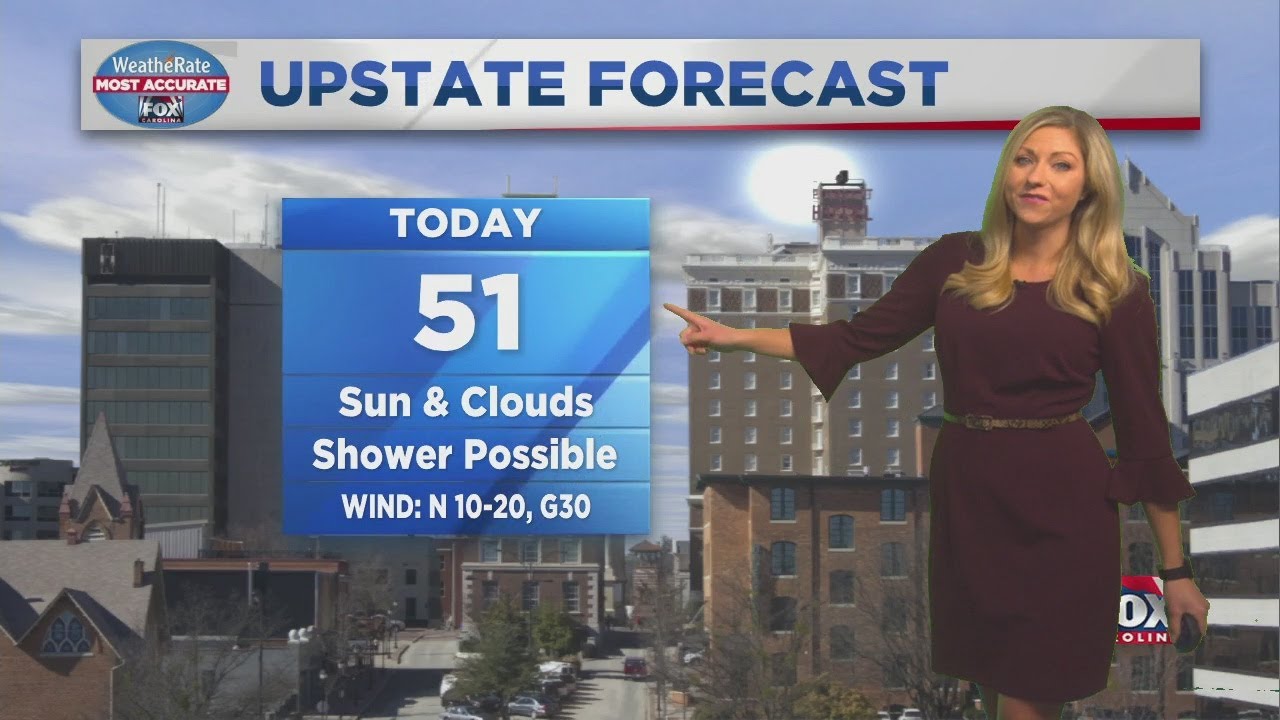
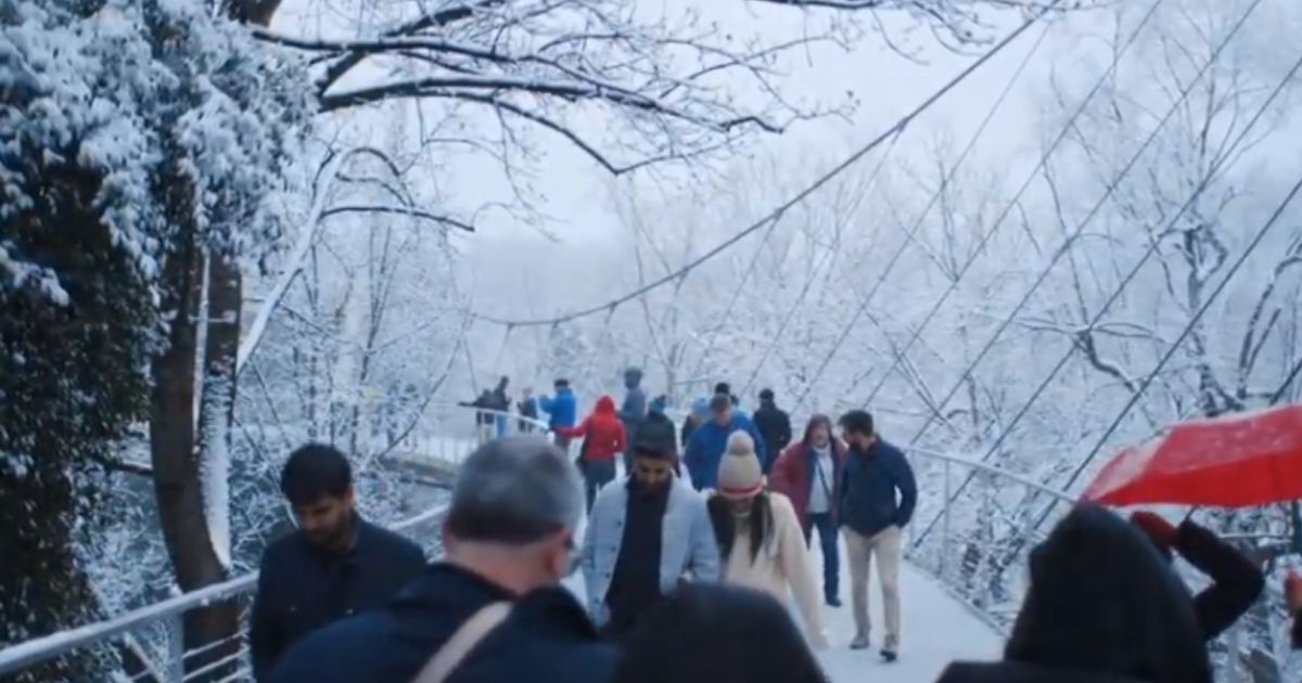
Kylee says we’ll see a chance of showers as cool temps stick around today. Five North Carolina counties look to get 2-5 inches of snow Monday.
URGENT – WINTER WEATHER MESSAGENational Weather Service Morristown TN
1126 AM EST Mon Dec 7 2020
…ACCUMULATING SNOW EXPECTED IN THE EASTERN TENNESSEE MOUNTAINS THROUGH TONIGHT…
.As a clipper dives down into the region, northwest flow snow will continue. Accumulating snow is expected in the mountains through this evening with light snow showers possible through early Tuesday morning.
TNZ041-043-045-047-072-074-080500- /O.CON.KMRX.WW.Y.0010.000000T0000Z-201208T0500Z/ Cocke Smoky Mountains-Southeast Greene-Unicoi-Southeast Carter- Blount Smoky Mountains-Sevier Smoky Mountains- Including the cities of Hartford, Cedar Creek, Erwin, Unicoi, Limestone Cove, Hampton, Cades Cove, Elkmont, and Gatlinburg 1126 AM EST Mon Dec 7 2020
…WINTER WEATHER ADVISORY REMAINS IN EFFECT UNTIL MIDNIGHT EST TONIGHT…
* WHAT…Snow expected. Total snow accumulations of 2 to 4 inches above 2500 feet and 4 to 6 inches above 4000 feet. Locally higher amounts are possible across the highest peaks.
* WHERE…Portions of east Tennessee mountains.
* WHEN…Through midnight EST Monday night.
* IMPACTS…Plan on slippery road conditions. The hazardous conditions could impact the afternoon and evening commute.
* ADDITIONAL DETAILS…Blowing snow is also possible across the highest elevations due to breezy northwest winds. This may reduce visibilities and further complicate travel.
PRECAUTIONARY/PREPAREDNESS ACTIONS…
Slow down and use caution while traveling.
The latest road conditions for the state you are calling from can be obtained by calling 5 1 1.
Will Greenville and the Upstate of South Carolina See A White Christmas This Year (2020)
Does Greenville get snow? The short answer is yes but not a lot. Does Greenville get snow at Christmas, almost never. The last measurable snow that fell across the Upstate of South Carolina giving Greenville residents a White Christmas was the 25th and 26th of December 2010. The snow event was no blizzard by any…


