
A low pressure system off the South Carolina coast has been given a 50% chance of developing into a Tropical Storm before possibly making landfall this week.
The latest track shows this system bringing rain to Greenville and the Upstate late Monday into Tuesday.
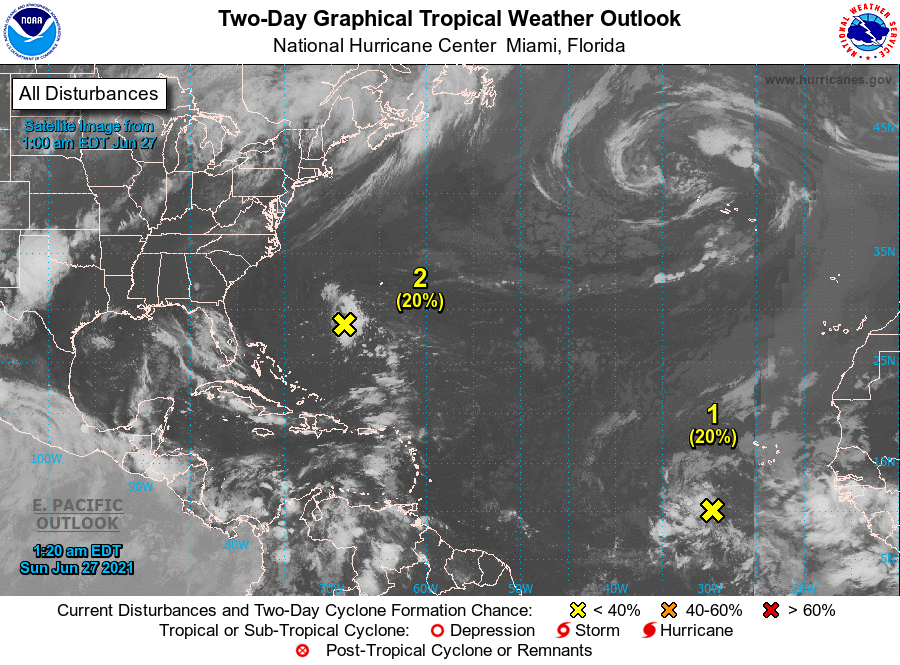
Latest Forecast From the National Hurricane Center
1. Satellite imagery and nearby buoy and ship observations indicate that a small low pressure system has formed about 500 miles east-southeast of the Georgia-South Carolina border. Surface pressures have begun to fall across the area, and showers and thunderstorms have recently become better organized. Some additional development of this system will be possible later today, and especially on Monday when the system will move across the warmer waters of the Gulf Stream, and a tropical depression could form before the system makes landfall along the southern U.S. coast. The low is expected to move westward today, and then west-northwestward at about 15 mph on Monday, reaching the coast of the southeastern United States by late Monday. An Air Force Reserve Unit reconnaissance aircraft is scheduled to investigate the system Monday afternoon, if necessary. * Formation chance through 48 hours…medium…50 percent. * Formation chance through 5 days…medium…50 percent.2. An area of low pressure associated with a tropical wave located over the eastern tropical Atlantic Ocean more than 700 miles southwest of the Cabo Verde Islands is producing disorganized showers and thunderstorms. Little, if any, development of this system is expected for the next couple of days, followed by some gradual development by Wednesday and continuing through the end of the week while it moves it moves westward to west-northwestward at about 20 mph.


