
NEW TIMING: A cold front combined with the remnants of Sally will bring very heavy rain to the area Thursday and Friday. 3-5″+ will be likely. MUCH colder air settles in the for weekend. 40s and 50s for lows!
Forecast on Upstate Impacts
Latest Advisory
NHC
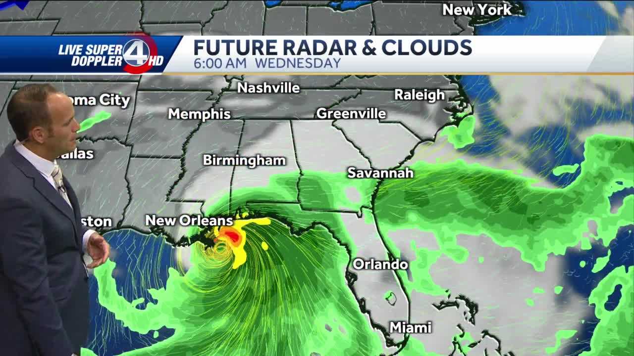
At 700 AM CDT (1200 UTC), the center of Hurricane Sally was located near latitude 29.1 North, longitude 88.0 West. Sally is moving toward the northwest near 2 mph (4 km/h), and this general motion is expected to continue this morning. A northward turn is expected this afternoon, followed by a slow north-northeastward to northeastward motion tonight and continuing through Wednesday night. On the forecast track, the center of Sally will pass near the coast of southeastern Louisiana today, and make landfall in the hurricane warning area tonight or Wednesday morning.
Maximum sustained winds are near 85 mph (140 km/h) with higher gusts. Although little change in strength is forecast until landfall occurs, Sally is still expected to be a dangerous hurricane when it moves onshore along the north-central Gulf coast.
Hurricane-force winds extend outward up to 45 miles (75 km) from the center and tropical-storm-force winds extend outward up to 125 miles (205 km).
The estimated minimum central pressure based on data from the Air Force Hurricane Hunter aircraft is 982 mb (29.00 inches).
[catlist name=“iongreenville”]


