Videocast: Tracking Cooler Temperatures
Videocast: Tracking Cooler Temperatures
Show Transcript
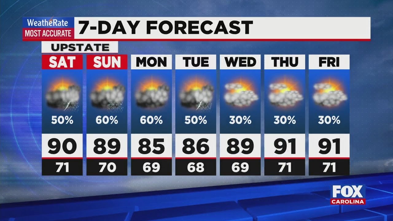
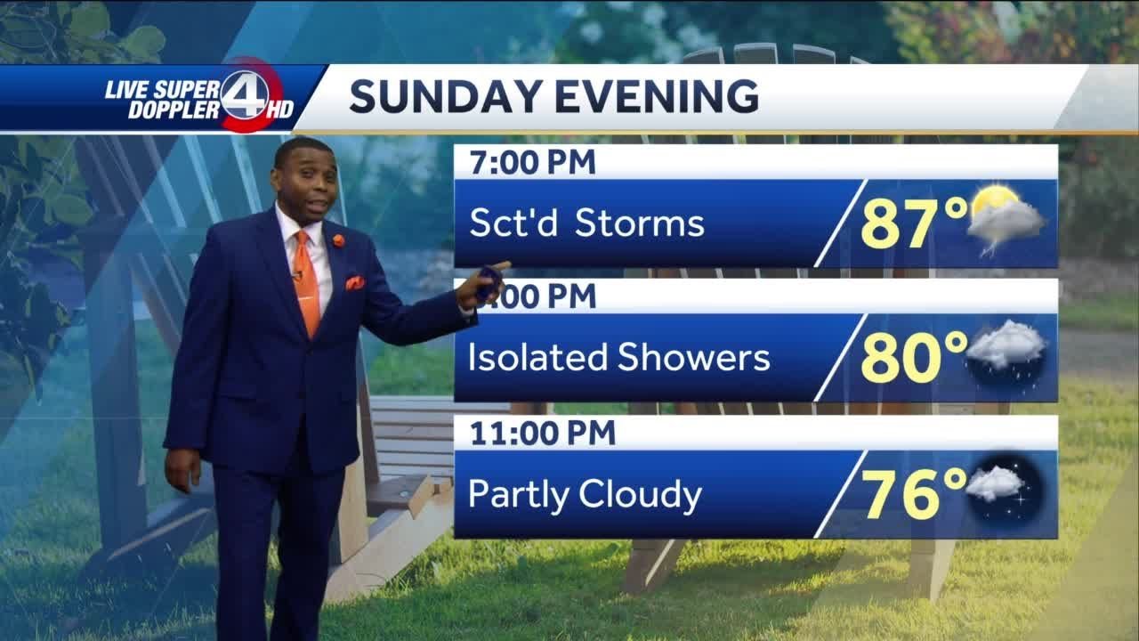
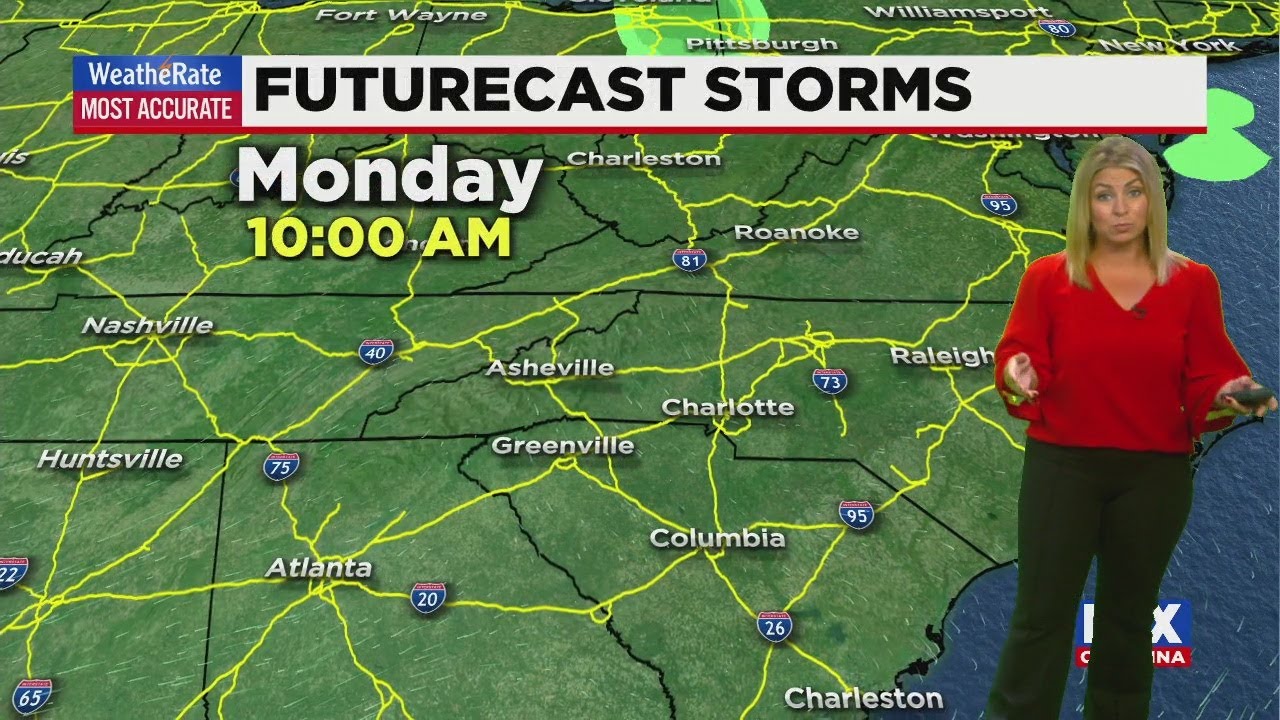
Yeah, well, mild and muggy on your Friday with a couple of isolated Sprinkles out there. So a little bit of a mixed bag as we get into tomorrow and Sunday, we’ll see a few isolated showers and then cooler as we get toward the end of next week, so fall will come back, but it will be a slow come back for sure. Humidity levels will be high today. Tomorrow. It will be a little bit better on Sunday, but don’t expect a huge sense of relief. It’ll be even better on Monday, so we’ll get a little bit of a break in that humidity levels gonna climb, and then we’ll get to some colder air. So a little bit of a roller coaster over the next several days, you could see on our radar picking up some isolated Sprinkles early this morning. But as we take a look out on the coast still getting some scattered showers on area beaches and yes, there is still small craft advisories. We’re watching a tropical wave that’s forming just south of the Cayman Islands that might develop over the weekend. It’s got about a 30% chance or so in the meantime, Hurricane Epsilon is moving away from the U. S. And away from Bermuda now that it has passed through that area. Thankfully, it’s not going to be a threat to anybody else as it moves off this weekend in early next week. Here at home. Isolated showers really more Sprinkles primarily for the mountains. You could see not much in the way of rainfall today. Ah, cool front comes through tomorrow. So will notice increasing clouds tonight and tomorrow morning. And then here you go later in the afternoon. After two o’clock or so, we’ll start to see some scattered showers again, most of that in the mountains. But don’t be surprised if we don’t have a couple of those move across the upstate. As we go into early Sunday, we could see some of that leftover rainfall. What’s gonna happen is some of this moisture is gonna override the cool front that’s already through the area at this point. But after that, we should just be dealing with clouds throughout the day on Sunday and then we’ll be dry but overcast on Monday. The very latest rainfall projections as we go throughout the day Saturday and Sunday, is just about a quarter inch of rain. For most of us, that’s going to be the average. Some of us you could see you’ll get just a few Sprinkles or a trace of rain, so I’m not gonna be a big rain weekend. But at least it’s something, and that certainly ends are dry stretch of weather for the time being. By Tuesday, we’re back to Sonny and McGee and 80 degrees. And then as we go into Thursday, that’s when the stronger cold front comes through and that will generate some heavy rain, isolated thunderstorms and then behind that. As we go into Halloween weekend, it’s gonna be much, much cooler.
Advertisement
Videocast: Tracking Cooler Temperatures
Videocast: Tracking Cooler Temperatures
Sun, clouds, sprinkles today; isolated showers this weekend
Sun, clouds, sprinkles today; isolated showers this weekend
Advertisement


