Tropical Storm Paulette forms in the central Atlantic
System is far from land
Show Transcript
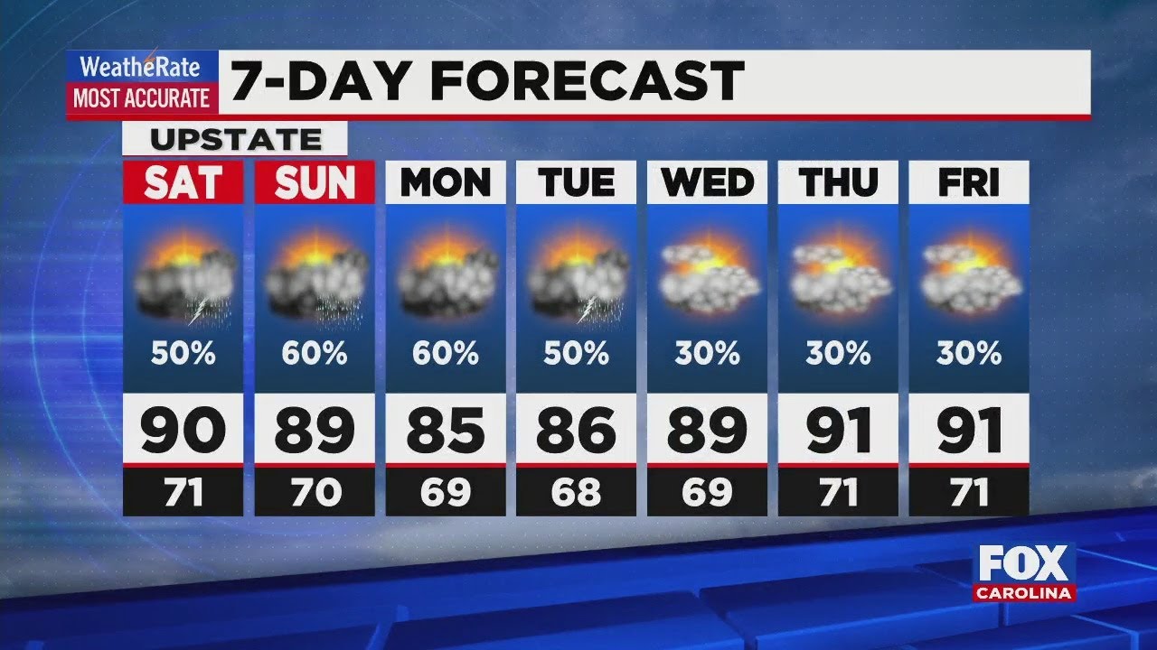
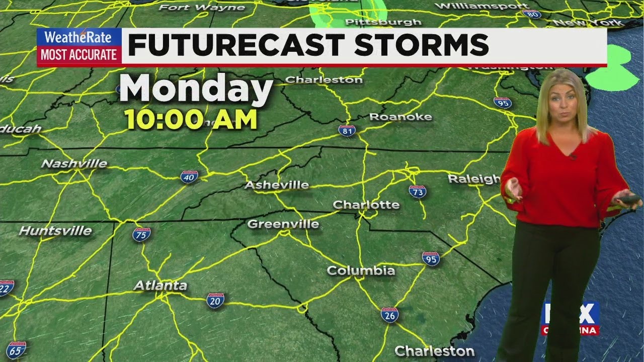
Well, happy Labor Day. It is a gorgeous day out there. We’ve got lots of sunshine, the humidity levels not too high. So you can actually step outside and enjoy today. It’s gonna be dry again tomorrow. So a good couple of days to get out and about. But we will receive that. We will see the rain return has we go into Wednesday? Right now we’re tracking the tropics. We actually have three different systems to tell you about, but this was the closest one to us. It’s just to the southwest of Bermuda, kind of in between the Carolinas and Bermuda. Right now it’s a cluster of thunderstorms and it’s pretty weak, with about a 30% chance of some development over the next five days. So not too big of a threat. However, we continue to track that and keep you updated. We also have a new storm. This was a tropical depression earlier today. It is now Tropical Storm Paulette. This is continuing to move to the north and to the west as we go throughout this week, maintaining tropical storm strength all the way through Saturday. Right now it looks like it wants to head out toward Bermuda. In fact, most of these spaghetti weather models kind of have it taking that dive out toward the north and potentially some take it to the Northeast. Some take it to the Northwest. So again we’ll be tracking this one, but still several days away, then behind that when we have an even stronger storm. This is tropical Depression 18 very likely to become our next named storm, maybe as early as tonight or tomorrow. Also projected to become a least a Category one hurricane is. We go into Wednesday and Thursday so that one would become Renee, leaving us just forem or storm names for the year. And then we move into the Greek alphabet, which we have done before. But it has been a while, as we take a look at today and tomorrow, high pressure, very much in control, that sinking air, that stable air keeping us clear and dry. It’s also keeping those north winds available, so cutting that humidity notice is we go into Wednesday night. We start to see a few clouds and a few spotty showers, moving now in the opposite direction. It’s going to come from Gaffney, all the way west to Ojala. Some of this will be courtesy of that tropical wave we’ve been watching near Bermuda, so some of that tropical moisture might make it our way Wednesday or Thursday, but certainly not a washout on either day. We keep the rain chances in the forecast through the weekend, a cold front pushing through as we go into Saturday and Sunday that will actually help drop the humidity again after it climbs right back up and give us maybe a dry start to next week.
Advertisement
Tropical Storm Paulette forms in the central Atlantic
System is far from land
Tropical Storm Paulette formed Monday morning in the central Atlantic, far from land.The storm’s maximum sustained winds are near 40 mph with modest strengthening expected over the next few days, the U.S. National Hurricane Center said.The storm is centered about 1,205 miles west of the Cabo Verde Islands and moving west-northwest near 3 mph.It’s expected to maintain tropical storm status thru this week as it heads towards Bermuda. The storm comes amid an active hurricane season but is not currently a threat to land.There are just five storm names to go before the National Hurricane Center moves to the Greek alphabet for storm names.
Tropical Storm Paulette formed Monday morning in the central Atlantic, far from land.
The storm’s maximum sustained winds are near 40 mph with modest strengthening expected over the next few days, the U.S. National Hurricane Center said.
Advertisement
The storm is centered about 1,205 miles west of the Cabo Verde Islands and moving west-northwest near 3 mph.
It’s expected to maintain tropical storm status thru this week as it heads towards Bermuda.
The storm comes amid an active hurricane season but is not currently a threat to land.
There are just five storm names to go before the National Hurricane Center moves to the Greek alphabet for storm names.


