
Forecast now calls for Isaias to make landfall near Myrtle Beach sometime after 8pm Monday night. Winds expected to 75-80 mph. The Upstate will get periods of heavy rain throughout Monday.
video: WYFF
9am Video Update
Video: Carolina Weather Authority
Live Look From Isle of Palms
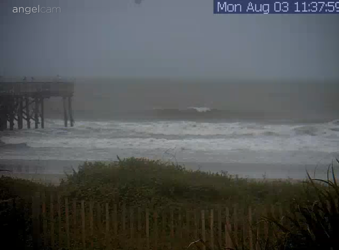
IOP SurfCam
Key Messages From National Hurricane Center:
1. There is the danger of life-threatening storm surge inundation along portions of the immediate coastline and adjacent waterways of northeastern South Carolina and southern North Carolina. Life-threatening storm surge is possible along the North Carolina coast from Cape Fear to Duck. Residents in these areas should follow advice given by local emergency officials.
2. Isaias is forecast to regain hurricane strength before it reaches the coast of northeastern South Carolina and southern North Carolina, and hurricane conditions are expected in the Hurricane Warning by this evening. Preparations should be rushed to completion.
3. Tropical storm conditions are expected to spread northward within the Tropical Storm Warning area from Florida to portions of southern New England through Tuesday afternoon. Tropical storm conditions are possible across other portions of New England within the Tropical Storm Watch area by early Wednesday. Additional watches or warnings may be required later today.
4. Heavy rainfall will result in flash and urban flooding, some of which may be significant in the eastern Carolinas and the mid-Atlantic, through midweek along and near the path of Isaias across the East Coast of the United States. Widespread minor to moderate river flooding is possible across portions of the Carolinas and the mid-Atlantic.
More Upstate News Headlines
[catlist name=“upstate news headlines”]


